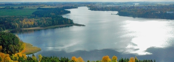
SmardzewGeneral information - Location
| Country | Poland | | Location in country | Center | | Location in Europe | Central Europe | | Coordinates (WGS84) | Long: 18.9308,Lat: 52.1733  |
| Elevation | 108 meter above sea level | | Local time | 5:15:23am |
| Name province/region (Województwo) | Łódzkie | | Wiki-website Subregion (Powiat) | Łęczycki | | Name Sub(sub)region - municipality | Grabów | | Other place with same name 1 |  Smardzew
Mazowieckie - Białobrzeski
 | | Other place with same name 2 |  Smardzew
Łódzkie - Zgierski
 | | Other place with same name 3 |  Smardzew
Łódzkie - Sieradzki
 |
Nearest 5 places
Nearest 3 capitals
| Capitalname |
Country |
Distance |
Direction |
| 1 Warszawa | Poland | 141 km |  East
East
| | 2 Berlin |  Germany
 | 379 km |  West
West
| | 3 Praha |  Czech-republic
 | 392 km |  SouthWest
|
Characteristics - Physical GeographyThe Baltic Sea is the nearest seacoast with a distance of around 230 km (direction North).The place is situated in the rivercatchment named Warta main - Upper - Prosna, part of the larger catchment area Oder. The nearest bigger lake is Jezioro Modzerowskie (3.4 km2 at a height of around 7 meter above sea level) at a distance of 22.1 km in NorthWestern direction).
The most nearby international border is the
Polish-Czech border with a straight distance of 223 km in SouthSouthWestern direction. The estimated travel distance is around 312 km.
Elevation around place: low location: 100%, The hills are mainly southern orientated. The most common land use in the area is agriculture.
Name area (subregions, nature area, hills, mountains, landscape)
Nearby scheduled flights are operated from (national) airport Warsaw Chopin Airport (at a distance of 139 km and direction East).
Landscape - Landuse (within 5km)
| Forest |
7.2 km2 |
|
| Agriculture |
71.4 km2 |
|
|
|
Climate - Temperature and Precipitation
|
Location of Smardzew in country Poland
Smardzew at Physical map (height map)
Tourist information - Travel Guide
Nearest 3 UNESCO-sites
Nearest Natura2000-area
Social media - Maps
|


 Smardzew (Łódzkie)


 ©
© 


 Filming Location


