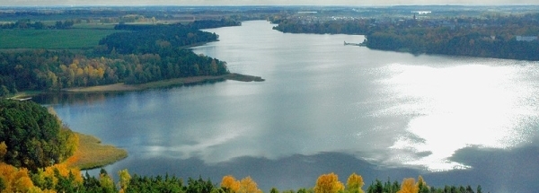
BrzózkaGeneral information - Location
| Country | Poland | | Location in country |  West
West | | Location in Europe | Central Europe | | Coordinates (WGS84) | Long: 16.6919,Lat: 51.4606  |
| Elevation | 81 meter above sea level | | Local time | 3:24:23am |
| Name province/region (Województwo) | Dolnośląskie | | Wiki-website Subregion (Powiat) | Wołowski | | Name Sub(sub)region - municipality | Wińsko | | Other place with same name 1 |  Brzózka
Mazowieckie - Węgrowski
 | | Other place with same name 2 |  Brzózka
Lubuskie - Krośnieński
 |
Nearest 5 places
Nearest 3 capitals
| Capitalname |
Country |
Distance |
Direction |
| 1 Praha |  Czech-republic
 | 222 km |  SouthWest
| | 2 Berlin |  Germany
 | 255 km |  WestNorthWest
| | 3 Warszawa | Poland | 308 km |  EastNorthEast
|
Characteristics - Physical GeographyThe Baltic Sea is the nearest seacoast with a distance of around 277 km (direction NorthWest).The place is situated in the rivercatchment named Oder main - Upper - Nysa Klodzka, part of the larger catchment area Oder. The nearest bigger lake (reservoir) is Staw Jeleń (3.5 km2 at a distance of 20 km in EastNorthEastern direction).
The most nearby international border is the
Polish-Czech border with a straight distance of 92.1 km in Southern direction. The estimated travel distance is around 129 km.
Elevation around place: low location: 100%, The hills are mainly northeastern orientated. The most common land use in the area is agriculture.
Name area (subregions, nature area, hills, mountains, landscape)
Nearby scheduled flights are operated from (national) airport Václav Havel Airport Prague (at a distance of 229 km and direction SouthWest).The closest smaller (subnational) airport is Copernicus Wroclaw Airport (at a distance of 42 km in SouthSouthEastern direction).
Landscape - Landuse (within 5km)
| Forest |
15.6 km2 |
|
| Nature |
0.3 km2 |
|
| Agriculture |
61.5 km2 |
|
| Urban area |
1.2 km2 |
|
|
|
Climate - Temperature and Precipitation
|
Location of Brzózka in country Poland
Brzózka at Physical map (height map)
Tourist information - Travel Guide
Nearest 3 UNESCO-sites
Nearest Natura2000-area
| Sitename |
Country |
Distance |
Direction |
| Dolina Lachy | PL | 1.1 km |  EastSouthEast
|
Social media - Maps
|


 Brzózka (Dolnośląskie)


 ©
© 


 Filming Location


